Koina – Laya
Koina – Laya Trek
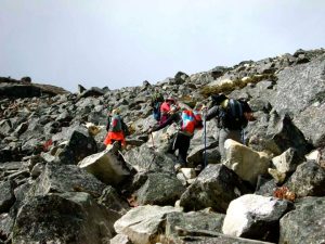
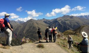
Approx 19km, 7-8hr. trek/ 1070m ascent, 260m descent A short and gradual climb at first and then the trail stays high for about half an hour and makes a ascent to Koina Lapcha (3300m). From here, there are several short descending and ascending up to 3390m, descending to the banks of the Mo Chu River and following it for upstream for while and arrives at an army post towards the late afternoon. Trekkers have to register here and show permits. Then from the army post, we begin gradual climb up to Laya village
Near Koina – Laya
More to see around Gasa.
-
Sight
Danji to Tshochena
Approx 12km, 5-6 hr trek/ 490m ascent, 240m descent Just near our campsite at Danji, there is a trail junction.
-
Dzongs & Fortresses
Gasa Dzong
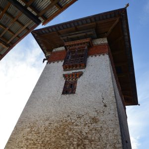
Gasa Dzong is the administrative headquarter of the Gasa Dzongkhag, which consists of Goen Khartoed in the upper region and Goen Kharmed in the lower region.
-
Sight
Gasa Hot Springs to Gasa Dzong
Approx. 2hrs trek/530m ascent. Relax this morning and enjoy the hot spring. After lunch we'll walk to Gasa Dzong, which is a steep 2hours of climb uphill.
-
Sight
Gasa and Laya Trek
This section describes the trek route from Damji to Gasa Hot Spring, Gasa Dzong, Koena, & Laya, starting with drive from Punakha to Damji.