

Gasa
Western Bhutan
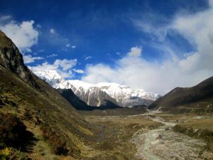
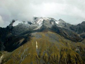
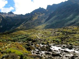
Remote and mountainous, Gasa Dzongkhag lies in northwestern Bhutan, along the border with Tibet. The district ranges from about 1,500 to 4,500 metres and is known for its rugged landscapes, highland communities, trekking routes and natural hot springs. Its administrative centre is the small settlement near Gasa Dzong, at approximately 2,770 metres.
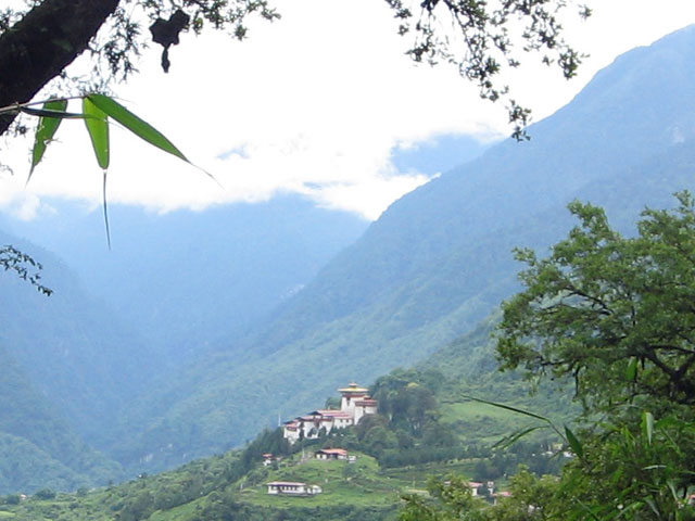
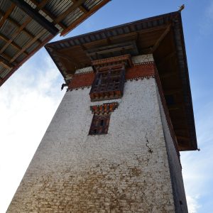
Gasa is a quiet village rather than a large town. A handful of small shops serve local residents, alongside a school, clinic, police post and forest office. The district administration is based in the dzong, also known as Tashi Thongmoen Dzong. Built by Zhabdrung Ngawang Namgyal in the 17th century, it later served as a defensive stronghold during conflicts with Tibet. Perched above the settlement, the dzong remains the area’s most prominent landmark.
Reaching Gasa
A road now reaches Gasa and continues as far as Taksemakha, near the army post below Laya. The journey from Punakha to Gasa generally takes around three hours, depending on road and weather conditions. The route is narrow, with occasional tarmac sections and long stretches of gravel; beyond Gasa, the road toward Taksemakha is a dirt track. Allow extra time and check local conditions before travelling, particularly during or after heavy rain.
Gasa Tshachu
Below the ridge, Gasa Tshachu is one of Bhutan’s best-known hot-spring sites. The pools draw visitors from across the country, particularly during the winter months, when many come to soak and spend time in the valley’s peaceful setting. It located at the foot of the ridge by the river below Gasa Dzong.
Gateway to the highlands
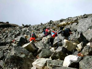
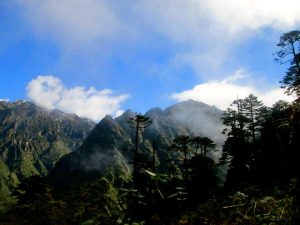
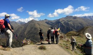
Gasa is the district centre for communities in the north, including Laya and Lunana, while Khatoe includes the area around Gasa and the hot springs. These highland regions are known for distinctive local traditions, yak-herding culture and dramatic mountain scenery. Gasa also lies on routes used by trekkers travelling toward Laya and the remote northern valleys.
A visit to Gasa offers a glimpse of a quieter, less accessible side of Bhutan. The settlement is small, the landscape immense, and daily life shaped by altitude, weather and distance. It is a rewarding destination for travellers drawn to mountain scenery, local culture and the experience of reaching one of the country’s most remote districts.
- Best time to visit
- March to May, September to November
- Getting there
- By road from Punakha to Damji, about 2 to 3 hours, then a walk or short transfer on the newer road
- Suggested stay
- 1 to 2 nights
Places in and around Gasa
Groups always run in this order. Inside each group, the must-see picks come first; hikes and places to stay follow the order Windhorse recommends.
Sights and attractions in Gasa
21-
Sight
Danji to Tshochena
Approx 12km, 5-6 hr trek/ 490m ascent, 240m descent Just near our campsite at Danji, there is a trail junction.
-
Sight
Gasa and Laya Trek
This section describes the trek route from Damji to Gasa Hot Spring, Gasa Dzong, Koena, & Laya, starting with drive from Punakha to Damji.
-
Sight
Gasa Hot Springs to Gasa Dzong
Approx. 2hrs trek/530m ascent. Relax this morning and enjoy the hot spring. After lunch we'll walk to Gasa Dzong, which is a steep 2hours of climb uphill.
-
Sight
In Thanza (Lunana)
We have to schedule a rest day here because this is also where we change our Yak Drivers from Laya.
-
Sight
Lhedi to Thanza
Approx. 17km / 7-8 hours / 400m ascent The trail follows the north bank of Pho Chhu River, past several small farms to Chozo village (4090m).
-
Sight
Lunana Thanza – Dur via Gangkar Punsum
This part describes the trek route after Thanza to Gangkar Phusum Base camp, then going east to Geshe Woma, Warathang, Dur Hot Springs, Tshochen and finally ending the…
-
Sight
Narethang to Tarina
Approx. 18km, 6-7 hours/270m ascent, 1200m descent. It takes us about one hour to reach our pass at the head of the valley (Karchung La at 5120m).
-
Sight
Thanza – Tsorim
Approx 8-9hrs trek. The treks start by climbing the ridge, with great view of the Table Mountain and Thanza valley below.
-
Sight
Thanza (Lunana Trek) to Sephu
This part describes the trek from Lunana Thanza to Sephu- via Danji, Tshochena, Jichu Dramo, Chukarpo, Thampe Tsho, Maurothang, Sephu).
-
Sight
Tshochena to Jichu Dramo
Approx 14km, 4-5 hrs trek/ 230m ascent, 140m descent Following the shore of the lake, we climb up to a ridge at 5100m.
-
Sight
Tsorim – Gangkar Phunsum Base Camp
This is the highlight of the trip and day starts with a short climb to the Tsorim Lake.
-
Towns & Valleys
Thanza
We have to schedule a rest day here because this is also where we change our Yak Drivers from Laya.
-
Dzongs & Fortresses
Gasa Dzong
Gasa Dzong is the administrative headquarter of the Gasa Dzongkhag, which consists of Goen Khartoed in the upper region and Goen Kharmed in the lower region.
-
Towns & Valleys
Laya
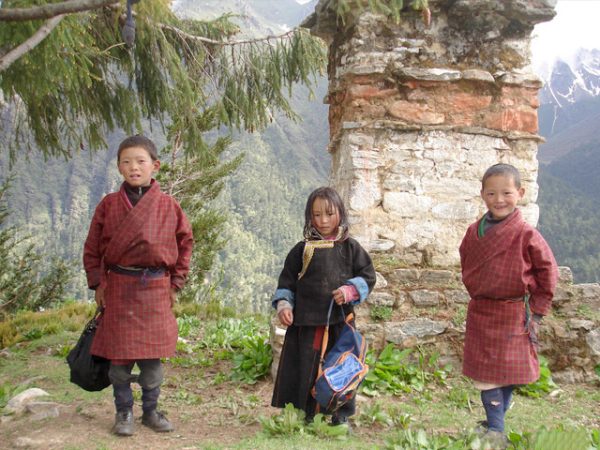
Laya village is located in the Gasa district or Dzongkhag. The people of Laya have their own dialect, customs, and distinct dress.
Nothing matches these filters in Gasa yet. Choose another type or a lower star rating.
Hikes & Treks around Gasa
1In the order Windhorse recommends-
Trek, 10 days
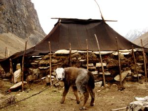
Chomolhari to Laya Gasa Trek
Refer description of Chomolhari treks from our website to check the description of trek preceding Laya.
Nothing matches these filters in Gasa yet. Choose another type or a lower star rating.
Where to stay in Gasa
3In the order Windhorse recommends-
Homestay
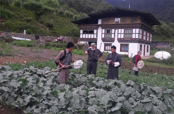
Chador Zangmo Home Stay
Chador Zangmo Farm House is located in Gasa about few Km from the main town.
-
Guest house
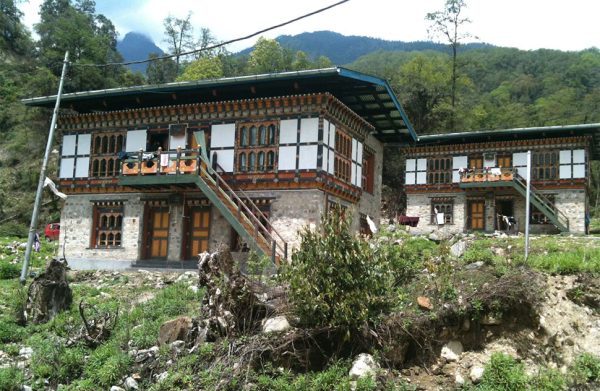
Gasa Tshachu Guest House
-
Farmstay
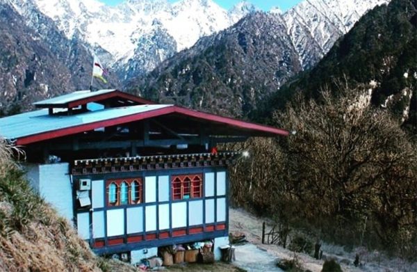
Namgay Farm House
Located on the ridge surrounded by the beautiful Himalayas snow peak. Namgay farm house has a very warm hospitable ambiance which offers a true Bhutanese living experience.
Nothing matches these filters in Gasa yet. Choose another type or a lower star rating.